Are Trams the Secret of the Blue Banana?

Everywhere we’ve ever been
We have a corkboard map on the wall into which we put a pin for every place we visit as a family.
Which made me realise just how many of our holiday destinations are in the Blue Banana.
In recent years we’ve visited Antwerp, Ghent, Utrecht, Locarno, Venice, Rouen, Innsbruck and Genoa: all Blue Banana destinations.
And it got me thinking - what’s the secret of the Blue Banana?
The Blue Banana
The concept of the Blue Banana was developed in 1989 by RECLUS, a group of French geographers managed by Roger Brunet. They spotted a roughly banana-shaped zone across Western Europe from Manchester to Milan that contains a remarkable concentration of the world’s wealthiest regions.
They called it a blue banana because, well, alliteration, innit. If it had stayed yellow, we probably wouldn’t be talking about it today. (to be fair, you probably weren’t)
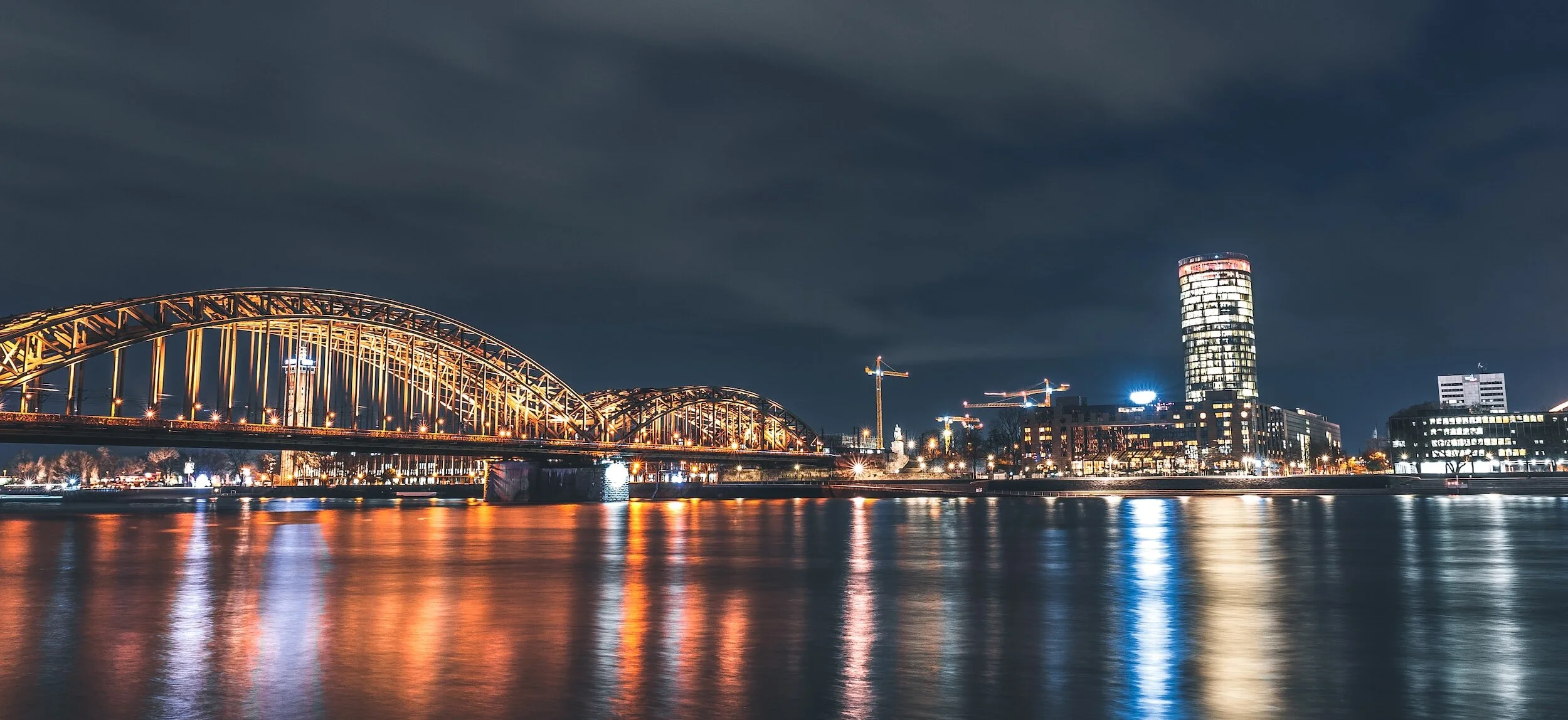
The Blue Banana runs from Manchester through Birmingham and London and across the North Sea to the Randstad (Amsterdam, Rotterdam, The Hague and other urban centres on the western edge of the Netherlands), the Flemish Diamond (Antwerp, Brussels, Ghent) and the Ruhr Metropolis (Dortmund, Düsseldorf, Cologne, etc.). Then it sweeps through Frankfurt, Stuttgart and Switzerland and ends in the Italian industrial cities of Milan, Turin and Genoa.

Small but perfectly formed
Despite containing less than 15% of Europe’s population, it dominates its economy. As its borders don’t coincide with any administrative boundaries, I cannot find the proportion of Europe’s GDP, but if it’s not more than 15% I will eat as many green or blackened bananas as you care to feed me.
(It’s not a perfect proxy, but I did spot that the members of the Air Quality of the Regions initiative, which is pretty similar to the Blue Banana, comprise 19% of the EU’s population but 23% of GDP)
It’s the Trams!
Why has the Blue Banana (in which most of my readers probably live) been so blessed?
Well, if you map all Europe’s tram networks, you start to notice that they centre on the Blue Banana. Here’s a simple map:

The story becomes clearer, though, if you turn it into a cluster map. It’s not a perfect banana, but there’s definitely a musaceous quality to the shape. (And, by the way, if you take nothing else from this blog, I hope you enjoy the word musaceous). The area of Europe with the highest density of trams is our old friend the Blue Banana, though this time extending a bit further into Italy and with a stem covering more of Germany:

Is it a coincidence that one of the most economically successful clusters on earth is also a hotbed of trams? Well, it’s obviously not the only reason, but I don’t think it’s entirely a coincidence. Productivity is driven by transport.
It’s the Transport, Stupid
The success of the blue banana cannot be explained by shared political systems, history, language or religion. The banana zoe crosses multiple national and linguistic boundaries. What the regions of the Blue Banana do coincide with are extensive river systems, such as the Rhine and the Thames, that provided natural transport routes, facilitating trade and industrial growth. These rivers were navigable and gave easy access to open sea (unlike, for example, the Danube). This is unusual at a global scale, and was the origin of the Blue Banana’s success.
Transport before trains
These rivers were the catalyst for trade and industrialisation, which encouraged further early transport connections.
As the economy evolved, rivers were replaced by railways. Again, lack of blue-banana specific data is an issue, but my experience of travelling round the Netherlands, Germany, Switzerland and northern Italy tells me they all have very high densities of rail connections. Switzerland has the highest density of rail lines in Europe: the Netherlands the highest density of rail service.
What about the French?
By the way, I’m not 100% convinced by the Blue Banana’s shape. I think the inventors of the concept were enamoured of the idea of a huge Blue Banana lying across the continent of Europe.
Everything about the Blue Banana should also include Paris: a high density, high productivity, highly connected global hub, highly integrated with London, the Netherlands and the Rhine area of Germany.
The academics who coined the idea were French. Maybe they excluded France to make a point?
More likely, though, it was because it would lose its distinctive banana shape as the concave side on the left would be straight. It would be the Blue Polygon-that’s-almost-a-triangle-but-not-quite. And then they’d have lost the alliteration.
France is a Blue Banana region in all but name.
Is it actually trams?
No. Obviously not. It’s possible that the trams were funded from the proceeds of a rich economy. But as the economy has evolved towards a digital, knowledge-based economy, the importance of easy connectivity within urban areas has increased. The Blue Banana tram cluster means cities that work for people; which is why the Blue Banana has navigated the transition from heavy industry to knowledge-based better than maybe any other region on earth. If the Blue Banana was created by rivers and evolved by railways, it is today sustained by trams.
What’s that got to do with us in Britain?
Well, mainly this.
If one of the richest, most economically successful regions on Earth has a high density of trams, maybe we should do the same?
It’s impossible to prove now whether the trams caused the success, or the success funded the trams. My hunch is that the trams sustained the growth.
London, Birmingham and Manchester are all Blue Banana cities, and all have trams. But parts of the UK lag drastically behind. If we want to catch up, maybe we should adopt the mantra of the Wolf of Wall Street: “Act as if you're rich already, and then you'll surely become rich”.
For the Blue Banana, that means trams.